
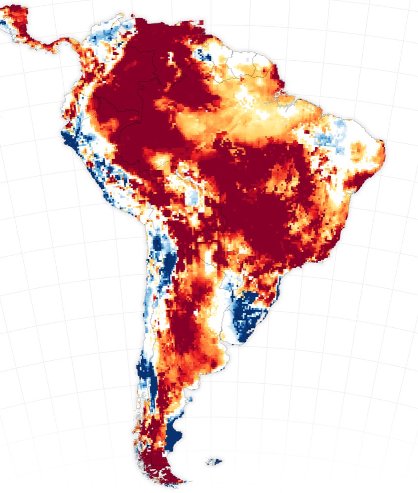
A NASA Earth Observatory feature published Oct. 20 uses more than two decades of GRACE and GRACE-FO satellite measurements to map where water storage changed across the continents. The researchers identified 40 regions where trends were strongly associated with human activity, including irrigation, reservoir impoundment and land-use change. In Latin America, the analysis links groundwater-related declines to Chihuahua, Mexico, while northern Brazil's Maranhão state showed a different pattern associated with expanding cropland and rising water storage. The authors caution that these are statistical relationships in a global model, not proof that one crop or policy alone caused a local change. The finer map offers a broader view of water management, but local monitoring remains essential for decisions about aquifers, farming and communities.
Satellite gravity maps show people reshaping water storage in Mexico and Brazil
A NASA feature describes groundwater declines in Chihuahua and a different water-storage pattern in northern Brazil.
Source published 2026-10-20 · Updated October 22, 2026